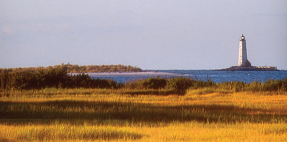
With water such an indelible part of the landscape of our region, it is no wonder that when it comes to recreation, so much is focused on getting out on the water. But sometimes seeing those abundant waters are best explored by land, specifically on the two wheels of a bicycle. Virginia has the distinction of being ranked seventh in the nation and first in the South when it comes to being a bike-friendly state. Some of those reasons are the investment in trail projects like the 51.2 mile Virginia Capital Trail that runs between Richmond and Williamsburg or the state’s participation in the East Coast Greenway, a 3,000 mile multi-use network of trails that connects from Maine to Florida.
While dedicated bike paths are not currently part of the landscape, the region does possess a network of backroads—lighter on traffic, lower on speed, and high on natural beauty—that make the Northern Neck and Middle Peninsula a great place to explore on two wheels, especially as the weather cools and fall colors warm up. So grab your gear, choose a path less traveled and experience a more timeless landscape.
Northern Neck: Traveling the PHT and Virginia Byways
The roughly 100 miles of the Northern Neck Heritage Trail is made up of eight smaller loops from Colonial Beach to Windmill Point, each with their own distinctive history, geography and possible side-trips along the way.
Three of those loops also have distinctions as Virginia Byways, created by the General Assembly in 1966 to designate roads with “relatively high aesthetic or cultural value, leading to or within areas of historical, natural or recreational significance,” according to the Virginia Department of Transportation (VDOT).
Reedville/Smith Point/Vir-Mar Beach
12 miles
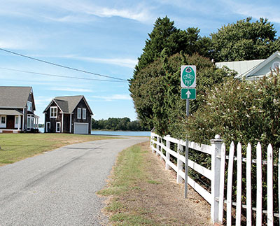
Start at Reedville’s picturesque Main Street, then onto Fleeton Road. Blackberry Road will then be on your left. Following the distinctive blue signs with the cardinal and dogwood designating the byway will lead you to Gaskins Beach Road. Make a right to the appropriately named Tranquility Road. The three mile round-trip to Smith Point will give you stunning views of the Little Wicomico River and Chesapeake Bay. Returning to Sunnybank Road, you will continue to Sunnybank for a brief ride and respite on the quaint Sunnybank Ferry. This free service offered by VDOT takes just minutes, but the views and breezes as you cross the Little Wicomico will leave you refreshed and ready for the next leg of the journey. Continue on Ferry Road to Hack’s Neck Road. Travel through quiet farmland to Vir-Mar Beach Road and you are rewarded with sandy beaches and wide views of the Potomac.
Morattico/Merry Point/Lancaster Courthouse
18 miles
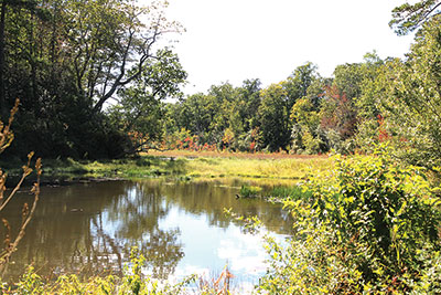
Begin at Morattico Road—the Morattico Waterfront Museum with views of the Rappahannock River is a good place to start—and travel along Route 354 (River Road). Belle Isle State Park, another good place for a ride, will be on your right. Continue along the gentle turns of River Road, past historic St. Mary’s Whitechapel and through the villages of Mollusk and Ottoman. Here, you will pick up Ottoman Ferry Road that will take you to the other free ferry service, this time across the Corrotoman River to Merry Point. Once you reach Merry Point it is roughly five miles of gentle turns, mostly through farmland, until you reach Route 3 (Mary Ball Road). Half a mile to your left is Lancaster’s historic center along with the Lancaster Virginia Historical Society (Mary Ball Washington Library and Museum).
Kilmarnock, Irvington, White Stone, Windmill Point
15 miles
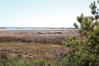
The route between the charming Main Street towns has a decidedly different feel than rolling farmland, with just a little more traffic and a little faster pace. Though plans are in the works to connect the towns with the proposed TriWay Trail, you can travel from Kilmarnock to Irvington and White Stone easily enough via Route 200 (Irvington Road).
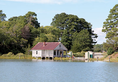
Once you pass White Stone, Windmill Point Road will take you to Westland Beach, with sweeping views of the Chesapeake Bay and the Rappahannock River. While not a designated byway, it should be. This seven-mile stretch to the beach resumes a slower pace, with quaint shops replaced by farmland and marshes. You may even spot the brown pelicans that hang out at the marina.
Other rides
Wicomico Church/Hughlett Point
14 miles roundtrip
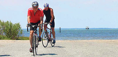
Begin at the intersection of Route 200 (Jessie duPont Memorial Highway) and Route 679 (Crosshills Road). Along the way to Hughlett Point Natural Area Preserve, you will wind along farmland, old millponds and historic homes. On the return trip, take a short detour to Dameron Marsh Natural Area Preserve. Park your bike and walk along the boardwalk to view the namesake saltwater marsh.
Belle Isle State Park
10 miles
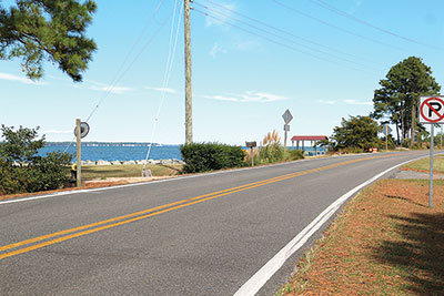
With bike rentals available, the network of easy riding trails, the longest just under two miles, are perfect for family rides even if you do not have a bike. Your reward at trail’s end are nature-filled views of Mulberry Creek, Deep Creek, and the Rappahannock River.
Middle Peninsula: Bike friendly coastal rides
The Middle Peninsula boasts its own share of quiet backroads and byways to experience the flora and fauna that hugs the shorelines of the Chesapeake and Mobjack Bays. In these rides, all roads lead from Mathews, a bike friendly town anytime of year, but especially during the Tour de Chesapeake, held annually in May. Regardless of the route you choose, you’ll see plenty of coastline, from sandy beaches to saltwater marshes.
To Gwynn’s Island
12 miles

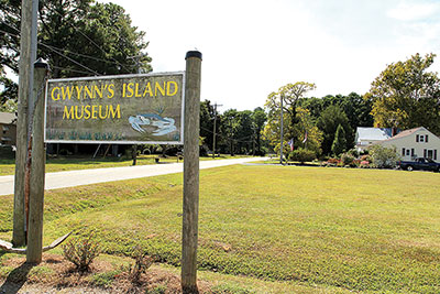
The Virginia Byway will take you north across a swing bridge onto Gwynn’s Island, where light traffic moves slowly and coastal roads offer glimpses of Hills Bay, where the Piankatank River meets the Chesapeake Bay. From Buckley Hall (Route 198) take Cricket Road (Route 223). Make a stop at Gwynn’s Island Museum on Old Ferry Road (Route 633) and the public landing on your way back.
New Point Comfort
20 miles
Leaving Mathews to the south, the Virginia Byway (New Point Comfort Hwy/Route 14) will take you to New Point Comfort, with views of the historical lighthouse. On your way through the countryside with all its coastal nooks and crannies, you will pass Williams Wharf Landing Park, a great place to make a 2 mile detour loop. Where Route 14 ends, Lighthouse Road begins. Once you arrive at the New Point Comfort Natural Area, park your bike and take a walk on the observation deck for one-of-a-kind views of Mobjack Bay, the lighthouse and during spring or fall, migratory birds along the Eastern Flyway.
Bethel Beach
16 miles
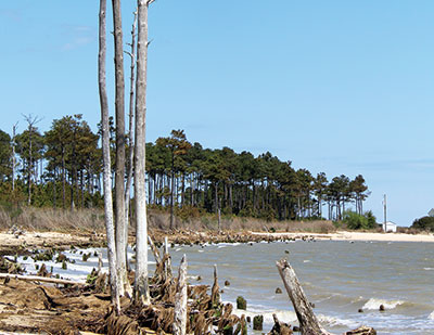
While not a byway, this route rewards you with rustic beach views at Bethel Beach. Travel east on Buckley Hall Road toward Moon. Continue along to Fitchetts Wharf Road (Route 642) and then Haven Beach Road (Route 643). Travel south along the wooded Lillys Neck Road (Route 644), then turn left onto Route 611, Tabernacle Road, which becomes Garden Creek Road. Here you begin to see the grassy marshes as you cross the creek and tributaries. Finally, turn left onto Bethel Beach Road (Route 609).
Other rides
Mobjack
11 miles
Travel the byway amidst lush green farmland along North River Road (Route 617) to the small village of Mobjack, which not only looks out to Mobjack Bay, but is nestled between the East and North Rivers.
Machicomoco State Park
3 miles
The new state park in Hayes in Gloucester County offers a three mile flat, paved trail, perfect for younger bicyclists and families. This ride offers views of Cedarbrush Creek, Timberneck Creek, and the marshy Catlett Islands in the York River.


